This page to mapping sources for England and Wales lists selected published sources including gazetteers, atlases and maps primarily held in the Map Collection of the State Library. The Map Collection holds current mapping of England and Wales and a varied collection of town and city plans of various dates for England and Wales.
Further down the page is a listing of online English and Welsh mapping websites that may also be of assistance.
The following items are available at the Library:

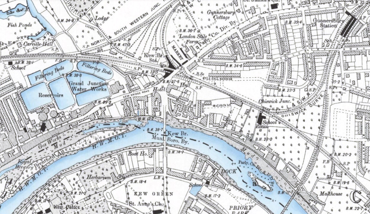
The National Library of Scotland (NLS) has unveiled a HUGE collection of maps that they have digitised and placed online. The maps, covering England and Wales, are historic Ordnance Survey maps that are between 60 and 170 years old and are at a high resolution. The scale is 6-inch-to-the-mile and covers the whole country.
The following items are available at the Library:
The following items are available at the Library:
The following items are available at the Library:
Here are a selection of website that may be of interest: